
Netryx Astra V2: Open-source tool pinpoints where a photo was taken, down to the meter
A free program on GitHub promises to work out the exact GPS coordinates from a single photo, even a blurry crop. It compares the image against Street View panoramas using two recent AI research models. That's useful for investigations, but it also raises tricky privacy questions.
What it's about
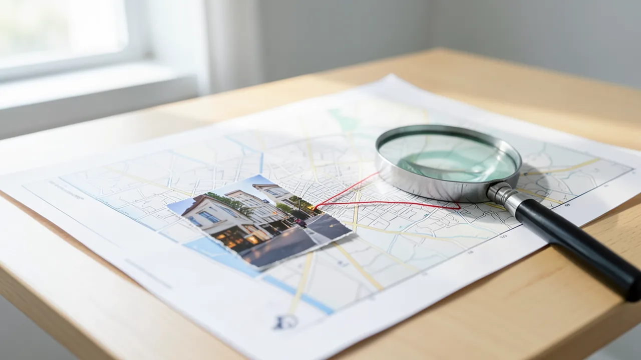
You have a photo. Maybe it's a screenshot from a video or a shaky phone picture you found online. All it shows is a shopfront, a stretch of road or the corner of a building, and you want to know exactly where it was taken. That's the question the open-source project Netryx Astra V2 sets out to answer. According to its developers, it can work out GPS coordinates from a single image, accurate to within a few meters. It does this by matching the photo against a database of Street View panoramas, the 360-degree images you know from map services. Once you upload a photo, the program is supposed to return the street, city and coordinates within a few minutes.
The code is free on GitHub. The installation guide points to github.com/sparkyniner/Netryx-Astra-V2-Geolocation-Tool, and there's another version at github.com/brodyos-dev/netryx-astra-geolocation-tool. The tool got attention partly through KitPloit, a tool collection mirrored by Vulners.com. It's aimed mainly at security researchers and OSINT investigators. OSINT stands for "Open Source Intelligence": investigations that rely only on publicly available information. According to the project page, the program runs on Mac, Linux and Windows and works entirely locally on your own machine.
Two new research models at the core
The developers say version 2 was rebuilt from scratch. It relies on two models that didn't exist when the project started:
- MegaLoc was presented at the CVPR 2025 conference. It's a "place recognition" model, meaning it recognizes locations. It comes from Gabriele Berton's lab, which also produced its predecessors CosPlace and EigenPlaces. It was trained on several datasets at once (SF-XL, GSV-Cities, MSLS and landmark data), covering indoor and outdoor scenes, day and night, and different seasons. According to the Netryx developers, no other model consistently beats it across all benchmarks. Its job is to find the right area.
- MASt3R was presented at ECCV 2024. It's a "3D-aware" matcher: it doesn't just compare two images by their pixel patterns, it understands the spatial geometry of the scene. That lets it confirm the exact location, even with heavily cropped photos.
How a search works
The developers stress that the pipeline really does have just three stages.
1. Finding candidates (MegaLoc): The query image is turned into a "descriptor", a kind of digital fingerprint made of 8448 numbers that captures the visual essence of the scene. PCA shrinks it down to 1024 numbers. PCA is a mathematical technique that boils data down to its most important directions, a bit like trimming a long description to its key points. This fingerprint is then compared with every stored location. The program also computes fingerprints for a slightly zoomed-in center crop and for a mirrored version of the image. That covers cases where the photo is zoomed differently or faces the opposite direction. The result is the 500 most similar candidates.
2. Verifying candidates (MASt3R): For each of the 500 candidates, the tool loads the matching panorama, crops it to the stored viewing direction and looks for matches. Classic methods like SuperPoint and LightGlue work with 500 to 2000 distinctive individual keypoints. If two images overlap by only 20 percent, you're often left with around 50 shared points, which isn't enough for a confident match. MASt3R instead treats matching as a 3D reconstruction problem and predicts a spatial position for every pixel. Even small shared regions then produce hundreds of reliable matches. On the "Map-free" benchmark, which provides a single reference image and viewpoint changes of up to 180 degrees, MASt3R beats earlier methods by 30 percent, according to the project page.
3. Spatial consensus: The best single hit isn't automatically the right one. Two identical branches of a restaurant chain five kilometers apart will both score highly, and rows of Soviet-era prefab apartment blocks look almost indistinguishable. So Netryx divides the search area into grid cells of roughly 50 meters. Good hits are clustered geographically, and each cell gets a score based on all the hits in it and in neighboring cells. That way, a single outlier with 200 matching points in the wrong place loses to a cluster of five hits with 80 to 150 points each in the right place. The developers say this keeps accuracy stable even with large search radii.
What's changed since version 1
| V1 (Original) | V2 (Astra) | |
|---|---|---|
| Candidate search | CosPlace (ResNet-50, 512 dimensions) | MegaLoc (DINOv2 ViT-B/14, 8448 → PCA 1024) |
| Verification | DISK + LightGlue + RANSAC | MASt3R, dense 3D matching |
| Edge cases | LoFTR fallback, descriptor hopping, neighborhood expansion, Ultra Mode | spatial consensus only |
| Processing stages | 9+ | 3 |
| Partial-image matching | weak | strong |
| Sharing indexes | not possible | Community hub via Hugging Face and .netryx files |
The developers themselves describe the old version as "fragile": a stack of heuristics, each meant to patch over the weakness of the stage before it. Fewer stages, the project says, mean fewer points of failure, faster searches and code that's actually maintainable.
Indexes: the heavy lifting and the community hub
Before you can search a city, it has to be indexed. To do that, the program lays a grid of points over the area, finds all available panoramas and downloads them in tiles. It stitches them together, crops them in several viewing directions, computes a MegaLoc fingerprint for each crop and builds a compact search index from them. According to the guide, that takes about 20 to 30 minutes for a 1 km radius, a few hours for 5 km and a full night for 10 km.
So that not everyone has to recompute the same city, there's a community hub: whoever has indexed a city uploads the result, and others can download it in a few minutes. The indexes are hosted as public datasets on Hugging Face. Downloading works without an account; uploading needs a free Hugging Face account. Alternatively, you can export indexes as a .netryx file and share them via Discord, email or cloud storage. It's a ZIP archive containing the fingerprints, coordinates and viewing directions, the PCA model and a description of the covered area. On export, the tool automatically filters by region, so you can cut out just "Moscow 1 km" from a large index, for example. Importing works completely offline.
The guide offers a workaround for one problem: if the program freezes while computing the PCA because it runs out of memory, you should build the index from the terminal with python3 -c "from test_super import build_compact_index; build_compact_index()". The setup script creates a Python virtual environment, installs the dependencies, fetches MASt3R and pre-downloads the model files. The source gives no specific requirements for the GPU or RAM.
The Moscow example
As their showcase, the developers present a small crop of a building facade with "absolutely nothing" recognizable on it. They say classic OSINT research would have failed here. Netryx Astra still pinned down the exact coordinates, they claim, with no metadata, no prior knowledge and entirely locally. The search covered a 1 km radius in Moscow. That's an important detail: the tool only finds a location within an area that has already been indexed. So you need to know roughly where to look, or have a suitable index.
Our take
Netryx Astra V2 isn't an AI model of its own. It's a clever combination of current research models packaged into a usable application. It's most interesting for journalists, fact-checkers and OSINT investigators who verify things like war footage or photos from social networks. Technically, the approach makes sense: combining a coarse search, dense 3D verification and spatial voting tackles the known weaknesses of such systems, especially confusing similar-looking places.
There are some caveats, though. All accuracy claims come from the developers themselves; there are no independent tests or systematic evaluations. The program needs existing Street View coverage and an indexed search area. It can't search the whole world "out of nowhere". It's unclear how reliable the community indexes are, and whether mass-downloading panoramas complies with the map providers' terms of service. The source also doesn't say which panoramas are used. Finally, the dual-use problem is obvious: the same tool that helps expose disinformation can also be used to track people down from private photos. The project page doesn't address these risks of misuse. If you post photos online, assume that even the corner of a building can give away where you are.
Sources
- Brave News vulners.com
- github.com github.com
Ask the AI assistant
Questions about this article, installation or background? Our assistant knows this page and runs on our own machine, not in someone else's cloud.
The Assistant is an AI (Gemma 4) and can make mistakes – please check important details against the source. Questions are used only to generate an answer and are deleted after one hour. Please don't enter any personal data.


Comments
What do you think? Already tried it? Write it here, no sign-up needed.
Comments are public. Links aren't allowed, and we delete abusive posts. You can delete your own comment at any time in this browser. Learn more in the Privacy Policy.